The increasing risk of disasters in some parts of Asia has led to the importance based on disaster mitigation. Responding to this requires technologies that can assist in disasater risk analysis, especially for spatial planning. Tools that can help with this are the utilization of Geographic Information System (GIS) and Remote Sensing. This approach offers innovative solutions and plays an important role in disaster analysis and management. Furthermore, GIS and RS technology can assist policy makers in identifying areas and communicating with communities involved in disaster management. With this need, this knowledge is interesting to be taught at the student level, especially in this summer course program. With the theme “GIS and Remote Sensing for Disaster Risk based Spatial Planning”, analytical skills both in the use of tools and in policy formulation discussions can encourage the realization of knowledge transfer that can be utilized for further study and a career as a disaster analyst practitioner. Hopefully, the summer course participants can gain optimal and useful knowledge.
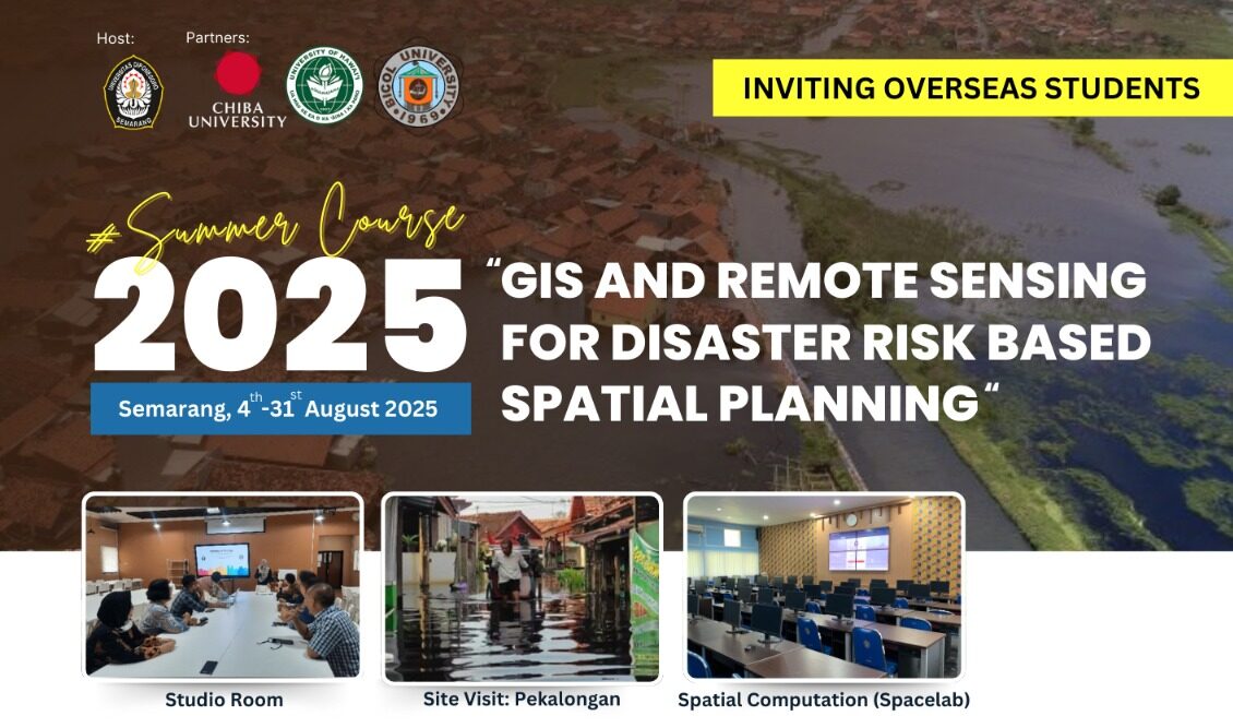
The Department of Urban and Regional Planning (URP) Undip, Semarang, Indonesia, in collaboration with Chiba University, Japan, University of Hawai’i at Manoa (UHM), USA, and Bicol University, the Philippines, proudly presents to you this summer course program. In this course, students are expected to learn comprehensively and recognize various topics and agendas related to GIS, Remote Sensing, and Spatial Planning.
Course : 4 – 8 August 2025 (offline), 11 – 31 August 2025 (online)
Activities ; Workshop, Field Visits, Studio Work
Facilities ; Local transportation (limited seats), accommodation for a week (limited seats), lunch
Recognition : Certificate, Academic Transcript
Topic :
- Fundamental GIS for Disaster Risk Reduction (DRR) Planning
- Resilience Concept for DRR
- Data Preparation for Risk Assessment Analysis Using GIS and Sensing Data
- Spatial Analysis in Risk Assesment
Registration : bit.ly/SummerCourse_2025
Contact Person :
Dr. Anang Wahyu Sejati, S.T., M.T. (+6285640226327)
scurp@live.undip.ac.id
